Lochranza, the village round the sea loch
Arran’s northernmost village gathers round Loch Ranza, where the castle, deer, shore and roads north give this end of the island a centre of its own.
What makes Lochranza feel like its own place?
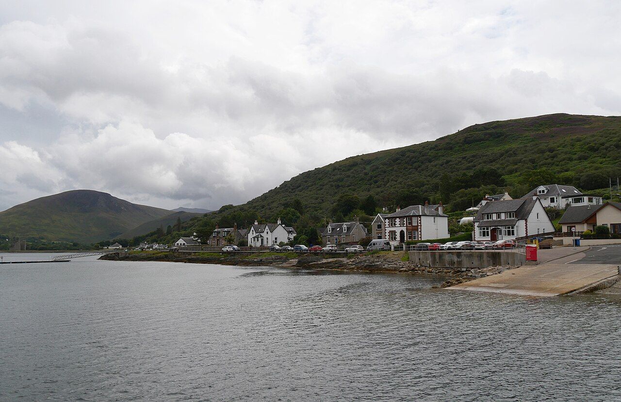
What holds the northern end of Arran together? In Lochranza, the answer is the sea loch. The village lies around the head of Loch Ranza, and the shape of the place follows that water rather than turning away from it. This is Arran’s northernmost village, but it does not read simply as the island’s edge. The loch gives it a centre, and the land around it gives that centre a clear boundary.
That is the best reason to see Lochranza as a world of its own. Its identity is not a list of separate sights. It comes from the way the village, shore and loch sit together. The north feels distinct here without needing to be made mysterious.
What is the castle doing out on the water?
Lochranza Castle stands on a shingle spit running out into the loch. The position of the castle on the spit does more work than any grand description of the building could. Land narrows towards the water; the castle occupies that meeting point. The result is a landmark tied closely to the shape of Loch Ranza, not an attraction set apart from it.
The spit is the detail to keep in mind. It makes the castle part of the loch’s outline and gives the village a recognisable centrepiece. I prefer that relationship to treating the castle as a separate stop: here, its setting is the point.
Lochranza is not simply a village beside a loch; the loch gives its northern end its shape.
Lochranza is not simply a village beside a loch; the loch gives its northern end its shape.
Are there deer in the village?
Red deer often graze on the open ground and the shore in Lochranza. They are especially often seen in autumn and winter. Their presence changes the feel of the village without making it a wildlife story first and a settlement second. The open ground is part of the place, and the deer use it.
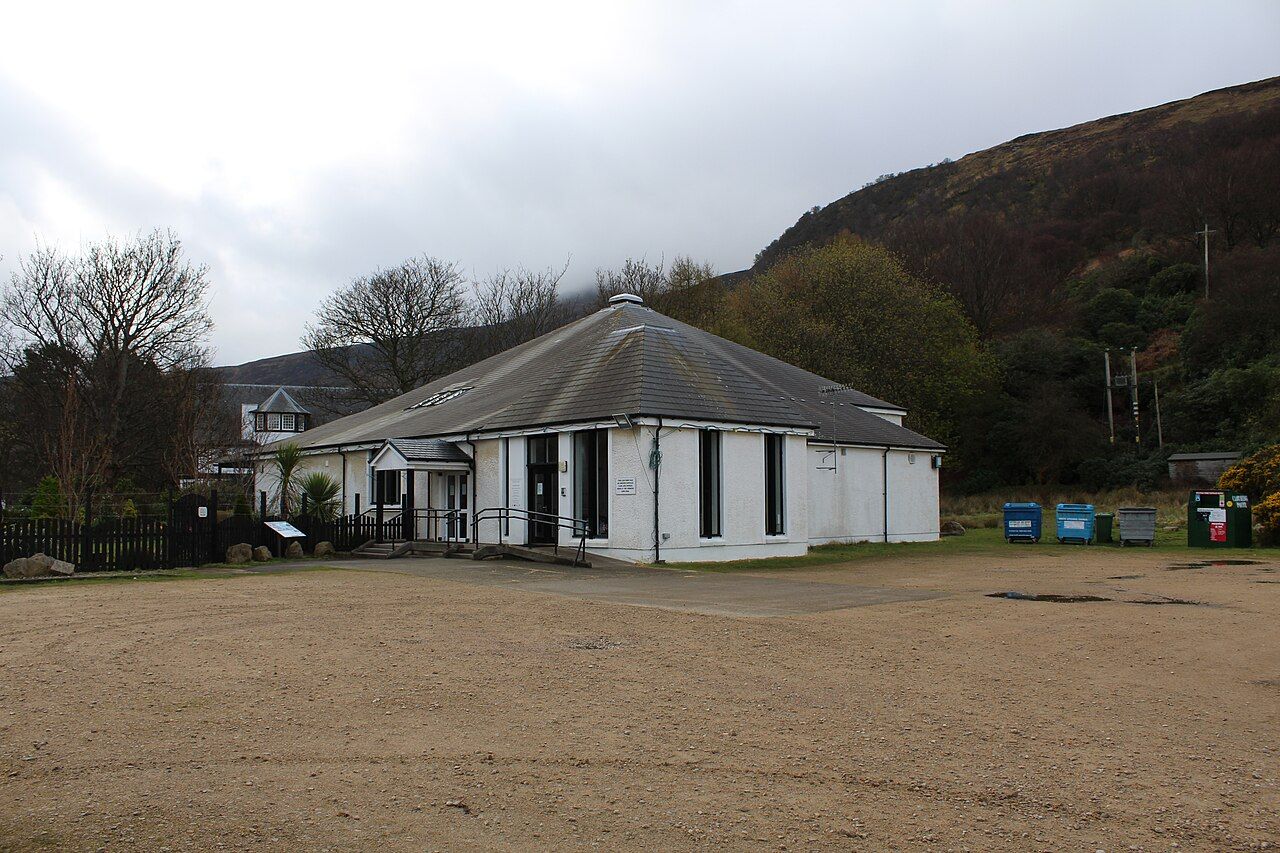

It is a pleasing counterpoint to the castle. One belongs to the built history of the shore; the other is part of the living landscape. Neither needs embellishment. The honest appeal is that both are there within the same small setting, with the loch between and around them.
What lies on the north side of the loch?
On the shore at Newton Point, on the north side of the loch, is Hutton’s unconformity. It is a precise point of interest rather than a general view, and it gives this shore a different kind of weight. The north side is not only a line of water and land: it also holds the rock that drew Hutton’s attention.
For anyone interested in the geology, the rock Hutton came to see is the more exact reason to look closely at this stretch. I would not make it stand for the whole village, but it adds a useful second register to a place otherwise defined so strongly by its setting.
Where does the shore lead?
A coast path runs north-east from Lochranza to the Cock of Arran, a large sandstone boulder on the shore. The route extends the village’s relationship with the sea rather than turning it into a quick look from one point. Its destination is unusually clear: a named boulder, large enough to serve as a marker in the landscape.
The appeal is not that this must be the grandest walk on Arran. The facts do not need that claim, and the more modest judgement is better. It is a way to follow the shore out from Lochranza, with the Cock of Arran giving the path a specific end.

What is the view from Lochranza?
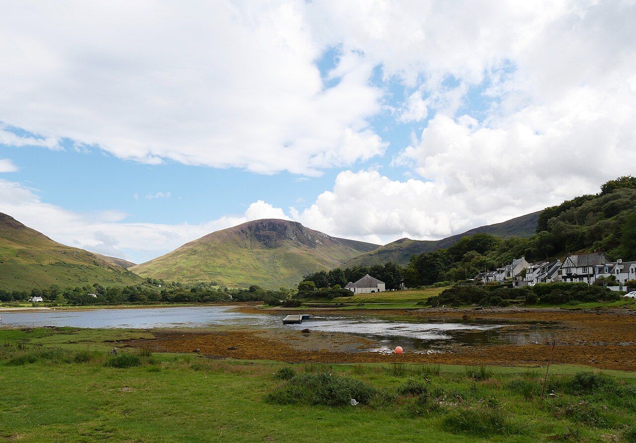
Lochranza looks north up Loch Fyne towards the hills of Cowal and Argyll. That outlook helps explain why the village feels turned towards a wider geography, rather than simply tucked into the top of Arran. The loch is not a closed bowl in the imagination; it points the eye north.
This is a view with direction. Cowal and Argyll are part of what Lochranza faces, and that gives the north end a different character from a place whose interest is only its immediate shore. The village makes more sense when read with that outward line in mind.
How does the village connect to the rest of the island?
The road from Lochranza climbs through Glen Chalmadale and over the Boguillie pass towards Sannox. The route makes the north end feel connected by land as well as by water, though its character is shaped by the climb and the pass. This is not a village whose identity comes from being isolated. It has clear lines leading away from it, even as the loch keeps drawing attention back.
At the shore, the ferry slipway serves the crossing to Claonaig on Kintyre. That crossing, the short ferry to Kintyre, is another reminder that Lochranza faces across water as well as along the island. Together, road and crossing make a persuasive case for the north as a place with its own bearings, not merely a far end.
What does the name mean?
The name Lochranza is usually explained as the loch of the rowan-tree river. The word “usually” matters: it leaves room for care, rather than pretending the explanation is beyond question. It also fits the village’s close relation to the water, where the name and setting point in the same direction.
Put the name beside the castle on its spit, the deer on the shore and the view north up Loch Fyne, and Lochranza comes into focus. None of these details alone accounts for the place. Together they make a convincing small world at Arran’s northern end. What else might the loch bring into view?