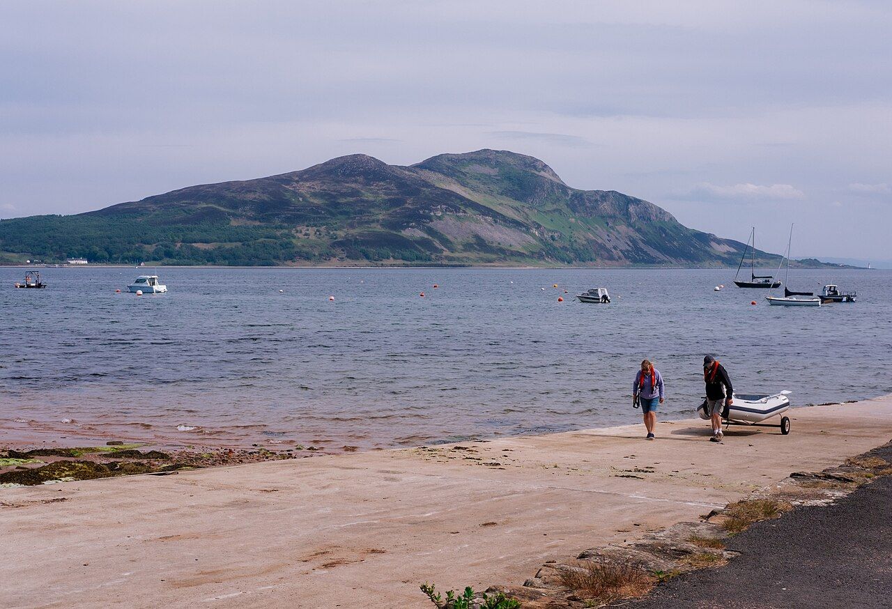
Holy Isle, across Lamlash Bay
A cave with Norse runes, two lighthouses and a path over the summit ridge give this small island a stronger character than its scale suggests.
What makes Holy Isle feel like another world?
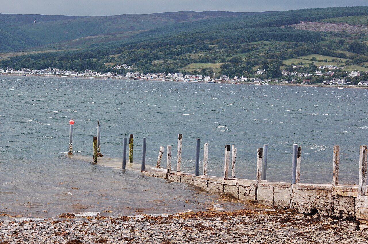
How much distance does it take to make a place feel separate? Holy Isle lies across the mouth of Lamlash Bay, about three kilometres from north to south. Its position gives it a clear distinction from the village on the shore opposite, without needing a grand claim about remoteness. The bay is part of the point: the island is close enough to remain in view as an idea, but distinct enough to feel like a change of subject.
That difference comes less from scale than from the mix of things gathered there: a cave associated with a sixth-century hermit, Norse inscriptions, lighthouses, free-roaming animals and a Buddhist community. It is an unusually concentrated set of identities for a small island.
What is the story of Saint Molaise’s cave?
Saint Molaise is said to have lived as a hermit in a cave on Holy Isle in the sixth century. The wording matters: it is a tradition, not a claim that needs dressing up as certainty. The cave also carries Norse runic inscriptions, adding another layer to a place already tied to an older religious story.
The appeal is in that overlap. The cave is not simply a scenic stop or a footnote to the island’s present-day identity. It gives Holy Isle a human history, but one that remains partly uncertain. That restraint suits it better than an overconfident account would.
What else gives the island its character?
Since 1992, Holy Isle has been owned by a Buddhist community linked to Samye Ling in Dumfriesshire. That fact changes how I read the island. It is not only a landform with interesting traces of the past; it is also a place shaped by a community in the present. There is no need to invent a grand explanation for the connection. The detail itself is striking, and sits alongside the much older story of Saint Molaise.
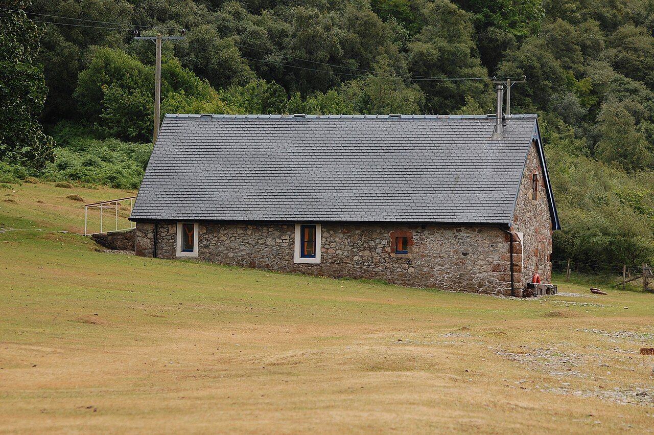

Holy Isle is managed as a nature reserve. Wild Eriskay ponies, Saanen goats and Soay sheep roam freely. Native trees have been planted across the island since the 1990s. These details make the landscape feel tended as well as wild; the two ideas are not in conflict here.
Holy Isle is compact in length, but not in character.
Holy Isle is compact in length, but not in character.
Is there a route across the island?
A path runs over the summit ridge from the jetty to the southern lighthouse. That is a good organising line for the island: a crossing that takes in its high ground and ends at a structure facing outwards, towards the open firth. The route is more compelling than a list of separate points, because it ties the island’s shape to its different edges.
The highest point is Mullach Mor, at about three hundred and fourteen metres. It is a proper height for a small island, and helps explain why the path over the ridge feels like more than a simple link between two ends. I would give the high ground the attention it deserves, rather than treating the island as a quick collection of sights.
Why are there two lighthouses?
Holy Isle has two lighthouses, with one at the south end facing the open firth. The facts are spare, but the position gives that lighthouse a clear role in the island’s character: it faces away from the bay, towards open water. The other lighthouse completes the pair, though it is the southern one that gives the island a particularly strong outward-facing edge.

Lighthouses can easily become decorative details in a description. Here they are more useful as markers of the island’s different sides: the bay, the firth, the ridge between. They make the geography feel legible without needing to turn it into a grand spectacle.
How does Holy Isle sit within the bay?
The island makes the bay feel like more than a stretch of water between shores. The link to the protected waters around it adds another dimension to that relationship. Holy Isle is not just an object to look across at; it belongs to a wider setting whose character is shaped by land and water together.
Nearby, the tombs with a view of Holy Isle offer a different way of thinking about the same outline. The view can be part of a place’s meaning, rather than a bonus attached to it. That is a fitting way to approach an island with such a strong blend of landscape, belief and history.
Is it worth making the crossing?
Yes, if the attraction is the combination rather than a single headline sight. The cave has its uncertain story and Norse marks; the ridge gives the island a route through its height; the lighthouses set it against the bay and firth; and the animals and planted trees make its present character more than an afterthought. None of those elements needs to be exaggerated.
The island is not large, but smallness is not the same as simplicity. I find Holy Isle more interesting as a whole than as a checklist: its past and present sit close together, while the water keeps it distinct from the shore. What changes most in the mind after crossing the bay: the sense of distance, or the sense of time?