Goatfell, from Cladach to granite
The usual climb to Arran’s highest point is a study in changing ground: woodland gives way to moor, then to bare granite beneath a summit view.
What changes on the way up?
Where does a climb become a mountain? On Goatfell, the answer is not a single moment. The usual path starts at Cladach, near Brodick Castle, on the north side of Brodick Bay, and rises first through woodland. Open moor comes later. Bare granite boulders and slabs mark the final climb.
That sequence is the route’s real interest. It does not offer one unbroken view or one kind of walking. The lower part feels distinct from the exposed upper ground, and the shift gives the ascent a shape. For a walk whose destination is so prominent, the changing path is worth noticing in its own right.
Why start at Cladach?
Cladach is the usual starting point for Goatfell, close to the castle and the shore near Brodick Bay. the castle at the foot of the path makes a useful counterpoint to the mountain: one is a work of people, the other a mass of granite, and the climb sets them in the same view of the island.
The route from Cladach to the summit is about five kilometres each way. That is a straightforward measure, but not the whole character of the walk. The ground changes as the path climbs, and the final section has a different feel from the woodland below. The castle at the foot of the path is worth a look in its own right, but Goatfell is the larger argument.
What is the lower path like?
The lower part climbs through woodland before reaching open moor. That transition matters more than any neat description of a start and finish. Woodland gives the ascent an enclosed beginning; then the path reaches ground that feels more open. The mountain comes into view as a changing presence rather than a fixed backdrop.
The change from woodland to moor is the climb’s clearest dividing line.

The change from woodland to moor is the climb’s clearest dividing line.
It is also where the route begins to show its range. A walk that started under trees is now on open ground, with the summit still ahead. This is a more satisfying progression than a path that reveals everything at once.
What marks the summit approach?
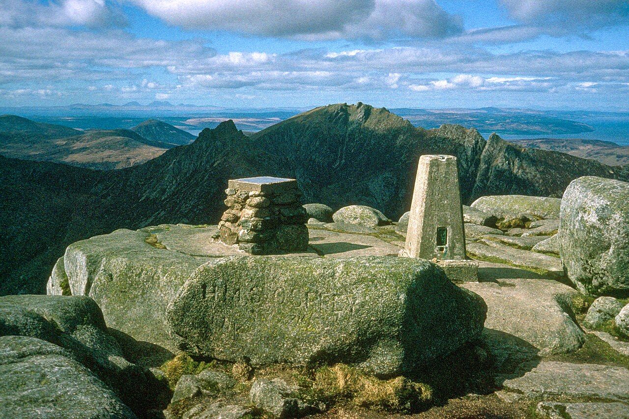
The final climb crosses bare granite boulders and slabs. There is no need to dress that up: it is a different sort of ground, and a fitting finish for the highest point on Arran. Goatfell reaches 874 metres. The change from moor to granite makes that height feel earned by the route, rather than just stated on a map.
Here the walk narrows to its essential subject: the mountain itself. The summit is not an ornamental end to a path through pleasant scenery. It is a high point reached across increasingly bare ground. That gives the approach a clear verdict: the climb’s strongest feature is its sequence, not a single scenic moment.
What can be seen from the top?
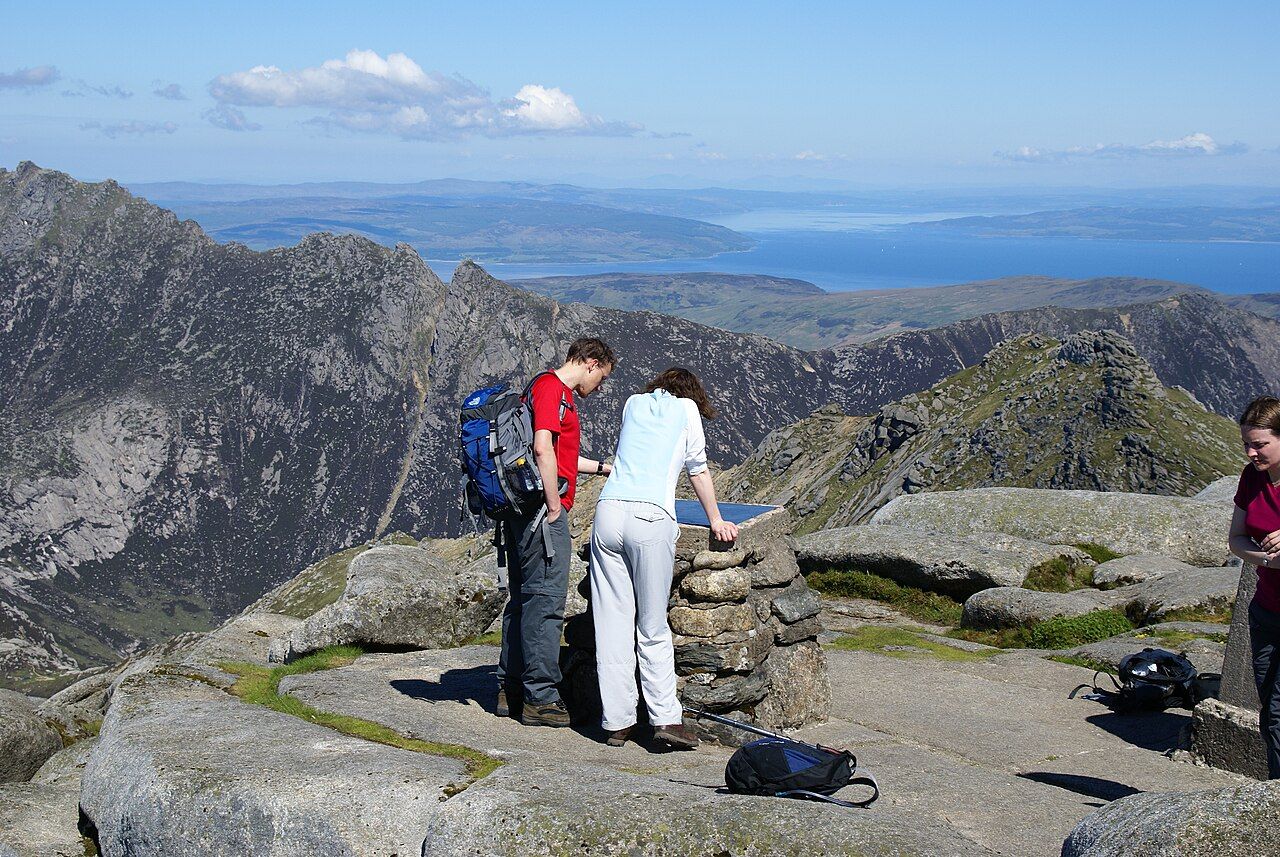
There is a view indicator at the summit. On clear days, the view reaches Ireland and the Paps of Jura. That is a considerable prospect, but the qualification matters: the wider view belongs to clear days, not to every summit visit.
The view is the obvious reward, and a good one. Still, it does not make the path below irrelevant. Goatfell is more interesting as a whole climb, from the woodland at Cladach to the granite underfoot at the top, than as a summit reached only for what can be seen from it.

Does the mountain continue beyond the summit?
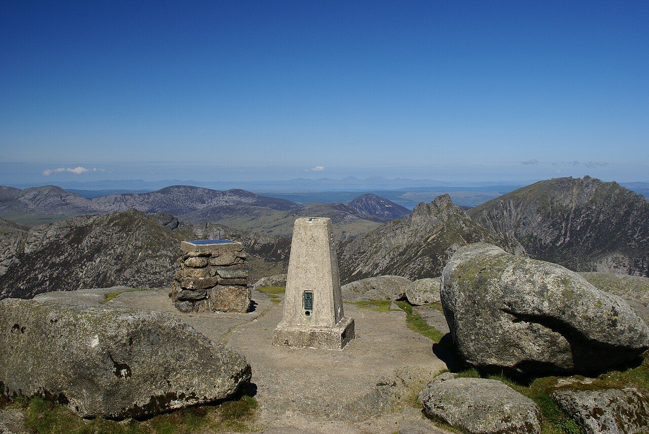
A ridge runs north from Goatfell over North Goatfell towards Mullach Buidhe and the Saddle. That line changes the impression of the summit: it is not simply a point at which the mountain ends, but part of a longer ridge. For another view of Goatfell’s western side, there is the glen on Goatfell's western side.
The ridge gives Goatfell a broader form than the usual climb alone suggests. The standard path has a clear destination, but the mountain’s shape carries on northwards. That contrast is worth keeping in mind: one route reaches the high point; the ridge points beyond it.
What does the name tell us?
Goatfell is often explained as a mix of Gaelic and Norse, with “fell” coming from the Norse word for a mountain. It is a careful explanation rather than a certain one, and the name suits a place whose identity rests so plainly on its height and ground.
Goatfell is also classed as a Corbett, a Scottish hill between 2,500 and 3,000 feet high. The label places it within a category, but does not capture the experience of this particular ascent: woodland, open moor, then bare granite. For a different seasonal view of the high tops, there is snow on the high tops.
Is the climb worth the effort?
Yes, if the appeal is a mountain that changes character as it rises. Goatfell is the highest point on Arran, and the summit view can reach far beyond the island on clear days. Those are strong reasons to climb it. The better reason, though, is the progression underfoot: woodland, moor, granite.
Goatfell has been in the care of the National Trust for Scotland since 1958. That fact sits quietly beside the more immediate experience of the route. The climb has a simple structure and a memorable finish, but its best quality may be the middle, where the enclosed lower ground has opened into moor and the summit is still to come.