Whiting Bay, shaped by the shore and the steamers
A long village on Arran’s south-east coast, with a steamer-pier past and paths climbing from the shore towards forest, waterfalls and old stones.
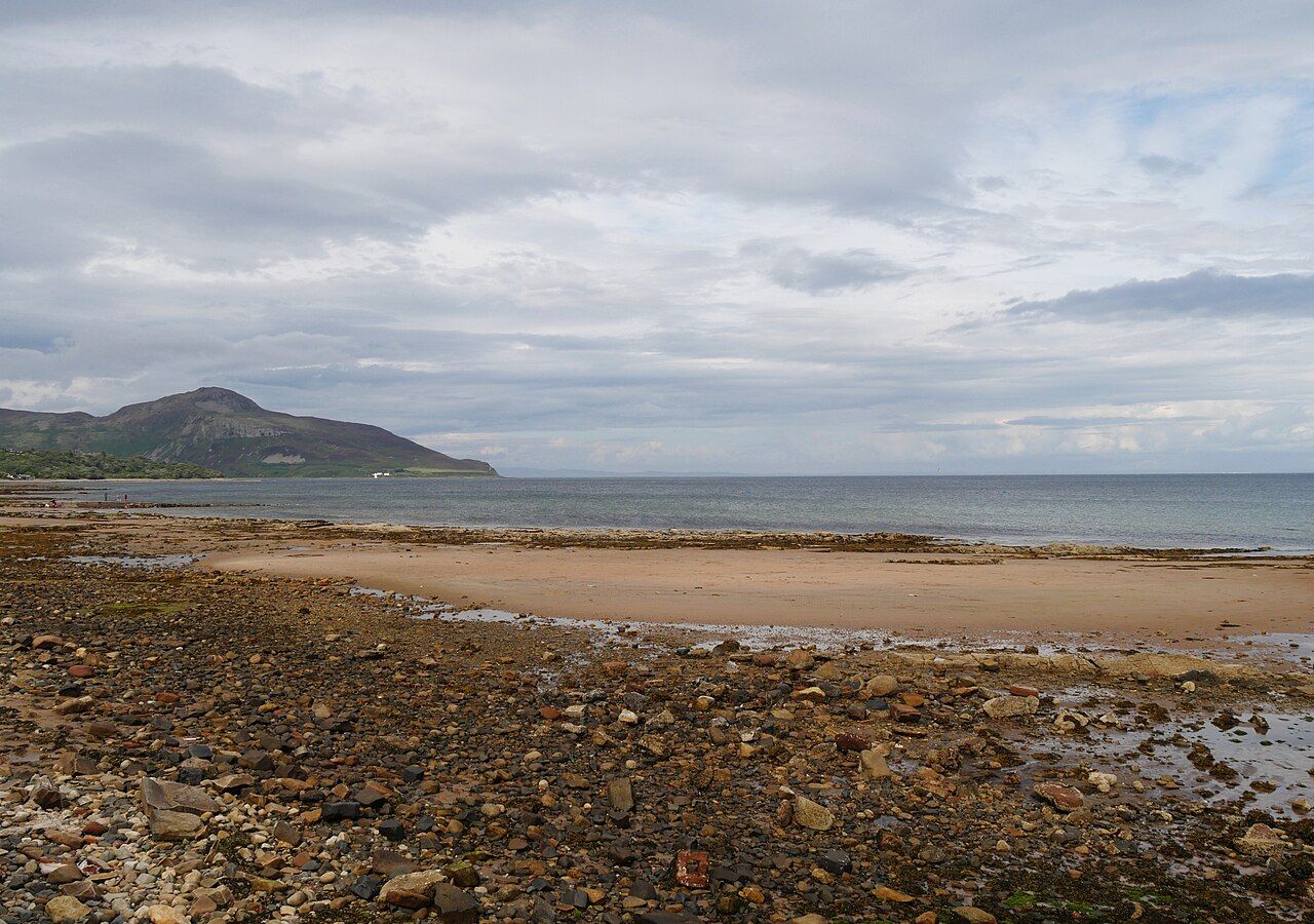
How much of Whiting Bay is village, and how much is shore?
It stretches for about 3 km along Arran’s south-east coast, a form that makes the place feel more like a line than a centre. The coast road runs along the seafront through its length. That gives the village a clear shape, but it is the history of the pier that gives that shape some explanation.
Whiting Bay grew in the late 19th century when Clyde steamers called at its pier. The pier was taken down in the 1960s. It is a concise piece of change: the village expanded around a link that is no longer there. The shore remains, facing east across the Firth of Clyde towards the Ayrshire coast, and the steamer years still seem the most useful way to understand how this long settlement came to be.
At the south end, a path climbs through forest to Glenashdale Falls. This is the strongest change of scene in the account of Whiting Bay: from the open shore into trees, then upwards towards the falls. The path gives the village more than its seafront length. For a walk with a clear destination, the falls in the forest above make the better case than simply following the coast road.
There are two Neolithic chambered cairns, known as the Giants’ Graves, on the hillside above Whiting Bay. They shift the view away from the village’s comparatively recent steamer story. The old stones and the pier belong to very different scales of time, and that contrast is more interesting than treating the shore as the whole story.
Kingscross Point, at the northern end of the bay, looks across to Holy Isle. The marker for a Viking grave on the point opens another strand of island history. And the path that circles the island puts this stretch of coast in a wider frame. Whiting Bay’s appeal is not one single landmark, but the contrast between its long seafront and the paths rising behind it.