Glen Sannox and the mine beneath the mountains
A steep glen, a closed barytes mine and the remains of industry: Glen Sannox is less untouched than it first appears, and richer for it.
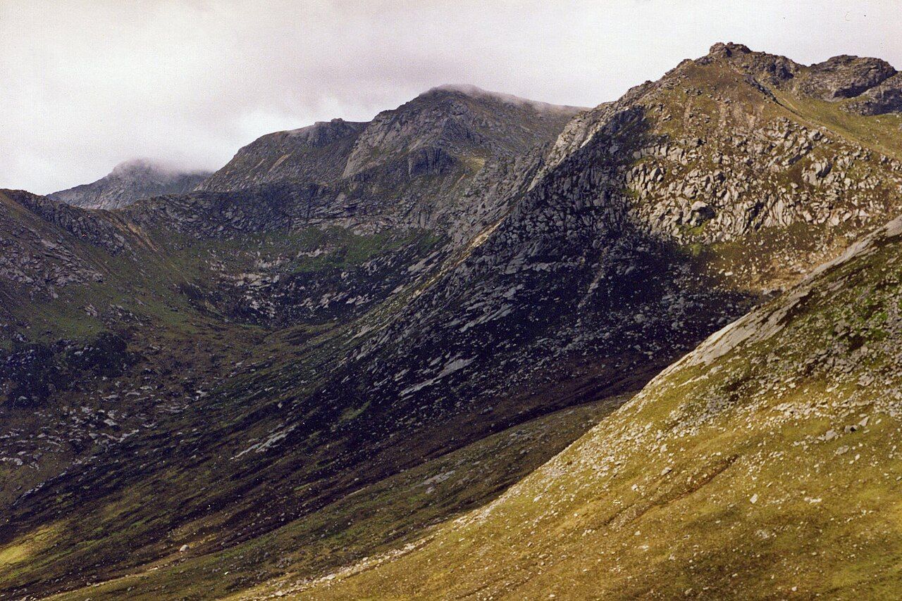
My sister hates hills, so I would not begin by recommending the climb to the head of Glen Sannox. I would begin lower down, where the glen complicates its own wild appearance: among the ruins of a mine and the spoil heaps, there is evidence that this was also a place of work.
What makes Glen Sannox feel so wild?
The glen runs about five kilometres inland from Sannox Bay to the foot of the Saddle. Its scale is clear from the ground: the Sannox Burn runs its length, crossing granite slabs and passing pools, while the head of the glen is ringed by Cir Mhor, Caisteal Abhail and the ridge of North Goatfell.
That is a strong setting, but the appeal is not simply that the glen looks remote. The burn and the rock make a convincing, coherent landscape; the mountains give it a firm boundary. The lower glen, though, refuses the idea that this is scenery untouched by people. It is better for that refusal.
The mine is not a footnote to the glen; it is part of what the glen means.
The mine is not a footnote to the glen; it is part of what the glen means.
The contrast is clearest near the sandy bay at its mouth. From there, the glen leads inland towards the steep headwall below the Saddle, but its story is not a simple passage from coast to wilderness. The ruins and spoil heaps in the lower part belong to the same view as the burn and the rising land.
What was mined here?
Barytes, a heavy mineral used in paint and industry, was mined in Glen Sannox across the nineteenth century and into the twentieth. The mine closed in 1938. Its surviving buildings are ruins, and the spoil heaps remain visible in the lower glen.

Those are plain facts, but they change the way the place reads. “Industry” can suggest something large and orderly; here, what remains is a set of fragments in a glen whose other features are burn, slabs, pools and steep rock. The remains do not overwhelm the landscape. Nor should they be tidied out of the story simply because the setting now feels wild.
The mine’s interest is not that it turns Glen Sannox into an industrial attraction. It does not. It gives the lower glen another register, and makes the word “untouched” a poor description. That is a more useful distinction than trying to choose between a natural place and a worked one.
Who lived and worked in the glen?
The facts here are stark. Families were cleared from Glen Sannox in 1829 to make way for sheep farming. Barytes mining took place across the nineteenth and twentieth centuries. These are different parts of the glen’s history, and they should not be blurred into a single story of industry or hardship.
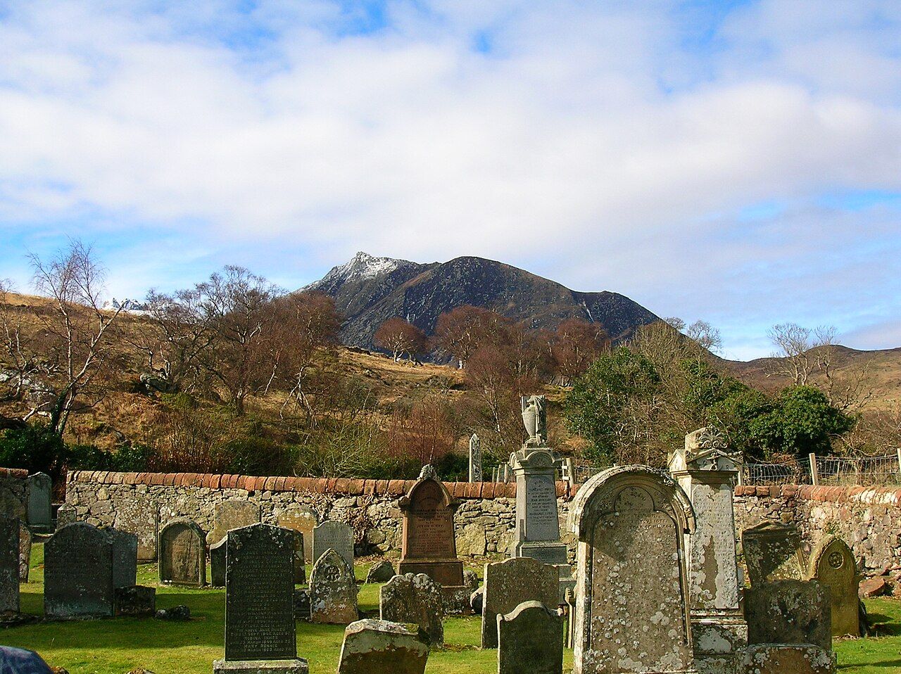
The clearance is particularly difficult to set beside the current image of a wild glen. That image has its place: the burn and the mountain walls are not inventions. But it cannot carry the whole meaning of the land. A place can look spare and unoccupied now and still bear the weight of earlier decisions about how it was to be used.
There is no need to pretend that the ruins explain everything. They do not. Their value is more modest, and more convincing: they stop the landscape being read as scenery alone.

Is the upper glen worth the effort?
The climb from upper Glen Sannox to the Saddle is steep and rocky, with a short section of easy scrambling. That is enough to make the upper glen a different proposition from the lower one. The approach along the burn gives way to a much more demanding rise, and the headwall is not decorative background. It is the point at which the landscape makes a direct demand.
For my taste, the change in character is the reason to value the walk, rather than an inconvenience to be edited out. The burn has a measured, close-up appeal; the upper ground is defined by steepness and rock. Neither needs to be treated as the main event for every visitor. The mine remains the more unusual detail, precisely because it sits in a glen so readily described as wild.
The upper head of the glen is framed by Cir Mhor, Caisteal Abhail and North Goatfell’s ridge. The notch of the notch of the Witch's Step offers another way to name the forms in this mountain country, but Glen Sannox has its own shape and its own argument. There is no need to make every nearby landmark part of the same outing.
How should Glen Sannox be read?
Not as a pristine glen, and not as a mine site with a mountain backdrop. Both descriptions flatten it. Glen Sannox holds the traces of work and displacement in a landscape whose force comes from burn, rock and enclosing heights. The tension between those things is the point.
For a contrasting view, there is the wider glen to the south.
Glen Sannox is compelling because its wildness is real but incomplete as an explanation. The mine ruins do not spoil the glen; they make its present appearance harder to take for granted. The question left behind is not whether the glen is wild, but what that word can hold.